


!~*ALERT*~! PRESIDENT TRUMP'S SPACE FORCE JUST SAVED AMERICA FROM INVASION!EVIDENCE NOW PILING UP(!)
DannyBoy7
1,360 Views
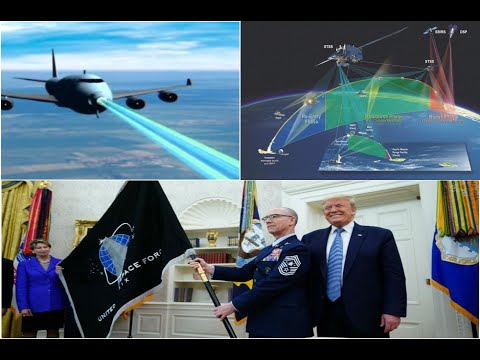
!~*ALERT*~! PRESIDENT TRUMP'S SPACE FORCE JUST SAVED AMERICA FROM INVASION!EVIDENCE NOW PILING UP(!)
CR NEWS
1,743 Views
#Anonymous#
501 Views
#Anonymous#
353 Views

#Anonymous#
471 Views

Rogue Banshee
486 Views

Chris Wagoner
175 Views
Rick Eutsler AirgunWeb / AirgunWebTV
391 Views
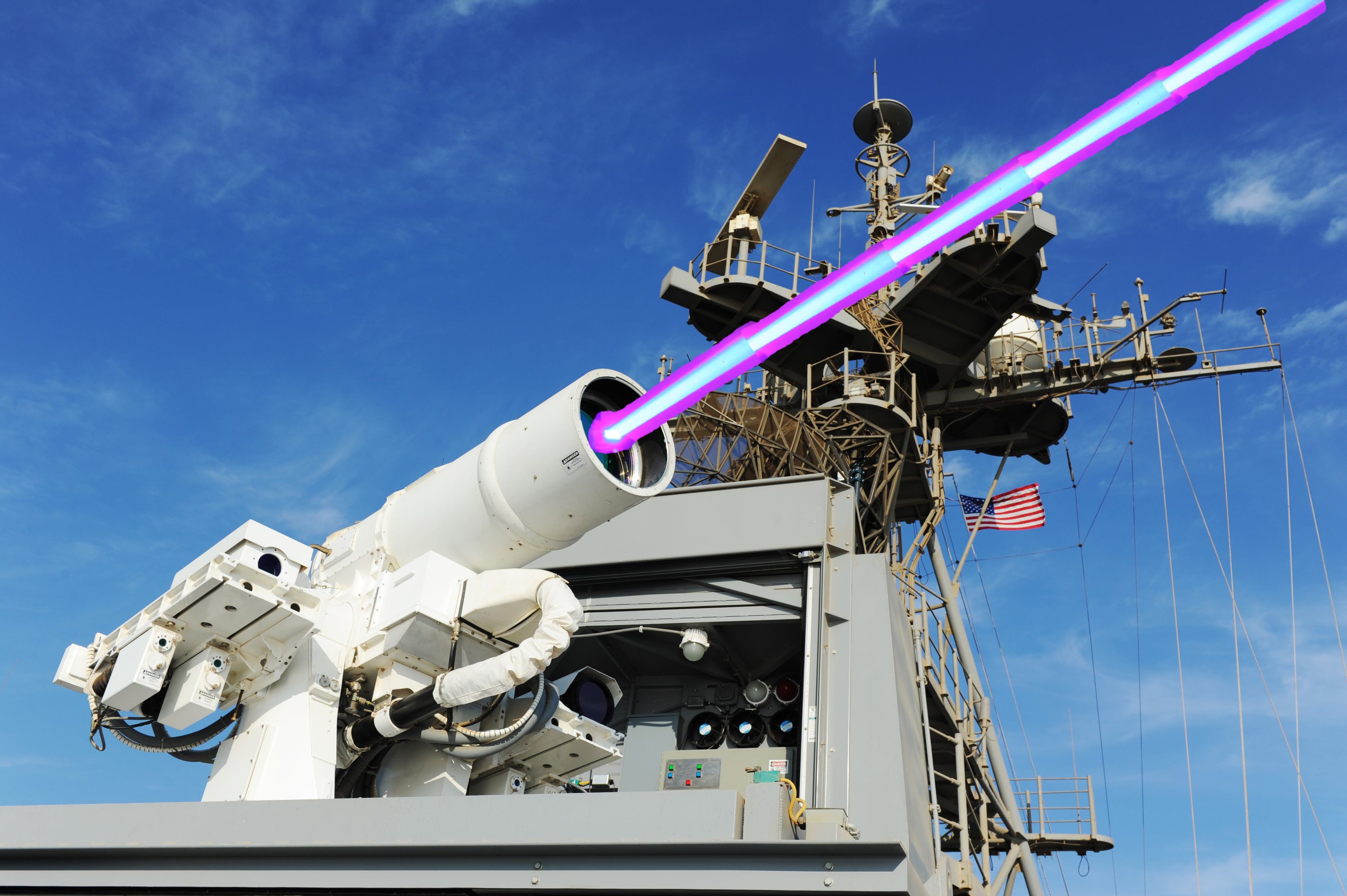
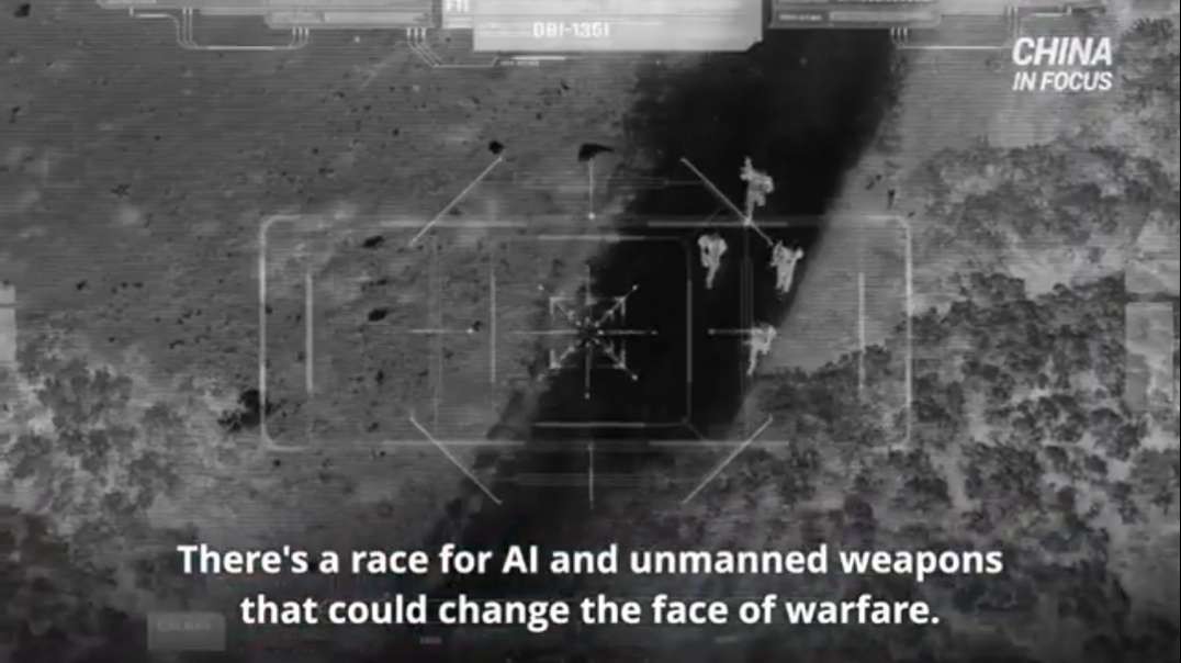
PRESIDENT TRUMP'S SPACE FORCE DEPLOYED *INFRARED LASER SATELLITE SWARM(!)NOW PROTECTING MAINLAND(!)

DannyBoy7 - 684 Views
6
1
Published on 29 Dec 2020 / In Film and Animation
Credit: Florida Marquis
Google Earth Pro 2020 Hi Res MAXAR Sateliite Imagery ! !
Brazil Pentagon ~ 2°17'38.74"S 44°25'26.79"W
Guadeloupe Pentagon ~ 16°20'36.01"N 61°29'12.52"W
McMinnville Crash ~ 35°39'45.18"N 85°51'3.70"W
Secret Drone Program ~ 36° 6'59.25"N 86°40'53.11"W
DownTown Event ~ 36° 9'52.70"N 86°46'36.78"W
Show more
0 Comments
sort Sort by
!~*ALERT*~! PRESIDENT TRUMP'S SPACE FORCE JUST SAVED AMERICA FROM INVASION!EVIDENCE NOW PILING UP(!)
DannyBoy7
1,360 Views
!~*ALERT*~! PRESIDENT TRUMP'S SPACE FORCE JUST SAVED AMERICA FROM INVASION!EVIDENCE NOW PILING UP(!)
CR NEWS
1,743 Views
#Anonymous#
501 Views
#Anonymous#
353 Views
#Anonymous#
471 Views
Rogue Banshee
486 Views
Chris Wagoner
175 Views
Rick Eutsler AirgunWeb / AirgunWebTV
391 Views